Wow it feels like such a long time since I last sat down to write a post about my travels. I planned on making the Eyre Peninsula the next topic but first we had to finish that leg of the trip and then I needed to collate the images. As I write this we have been taking a week off from travelling to relax for a bit in the Adelaide area. We ditched the confines of our caravan for a little luxury and rented an apartment on the marina in North Haven. This week photography has taken a back seat and I’ve played tourist as much as possible. From Adelaide Zoo and Haigh’s Chocolate Factory to the Barossa Valley and the Adelaide Hills…my stomach has grown and my wallet has shrunk :) I digress however… onward to the topic for this month’s post!

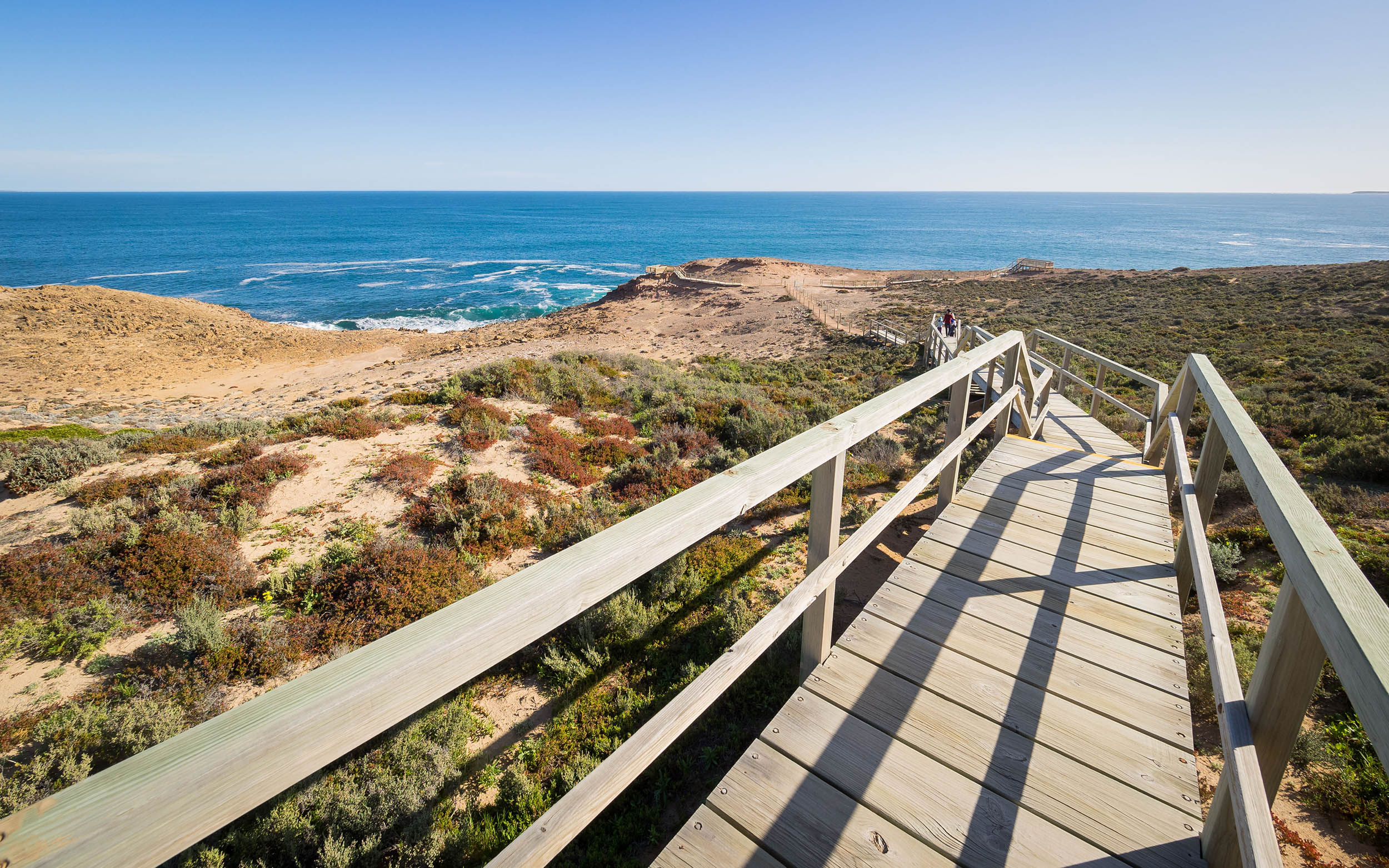
Looking down from the cliffs at Leo Cummings Lookout (west coast)
This post will be a brief overview of our journey around the peninsula and will mainly serve as a photographic journal however I will post relevant info for all locations we visited. The scenery along the coastal drive is simply spectacular and extremely varied between the east and west coasts.
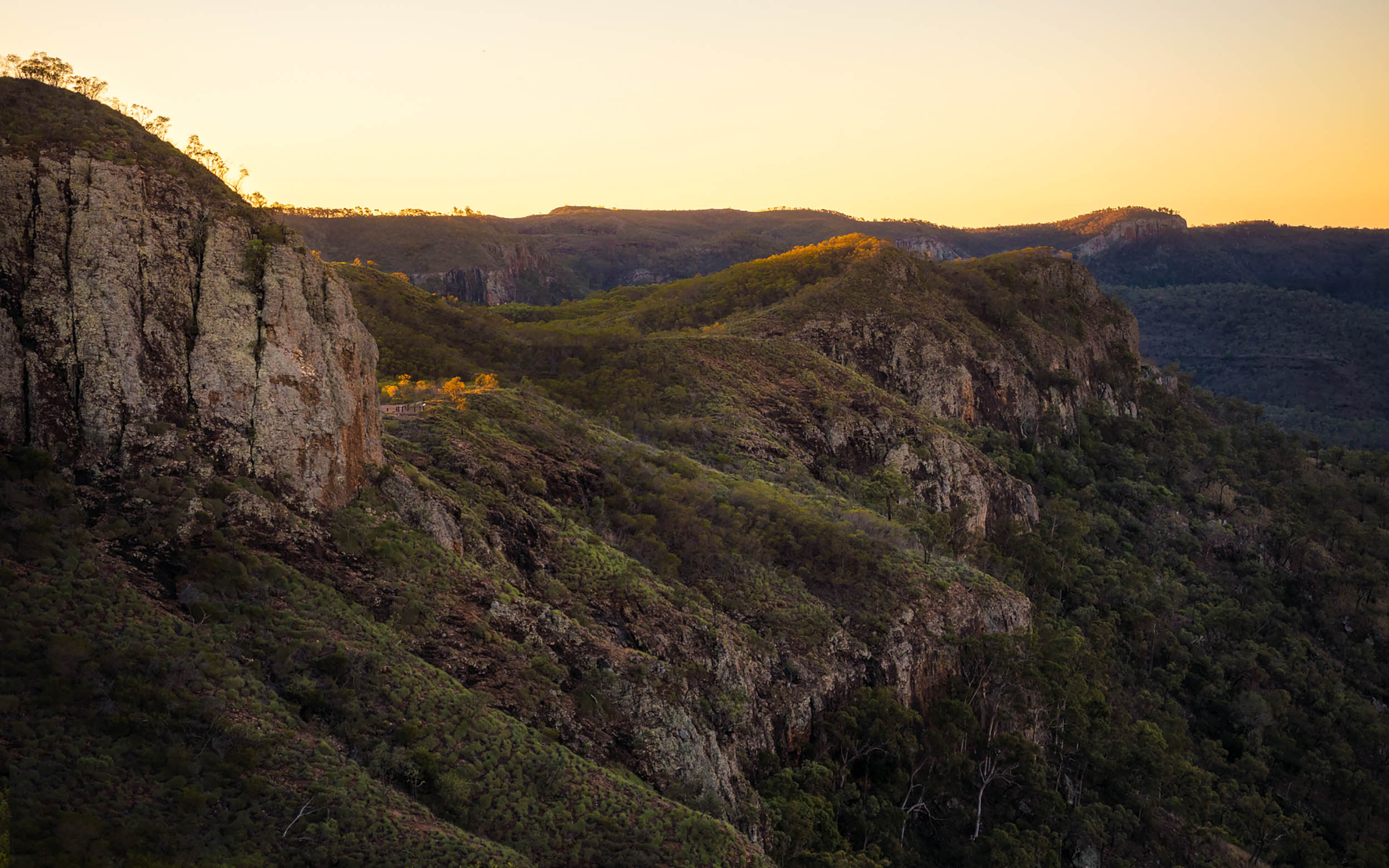
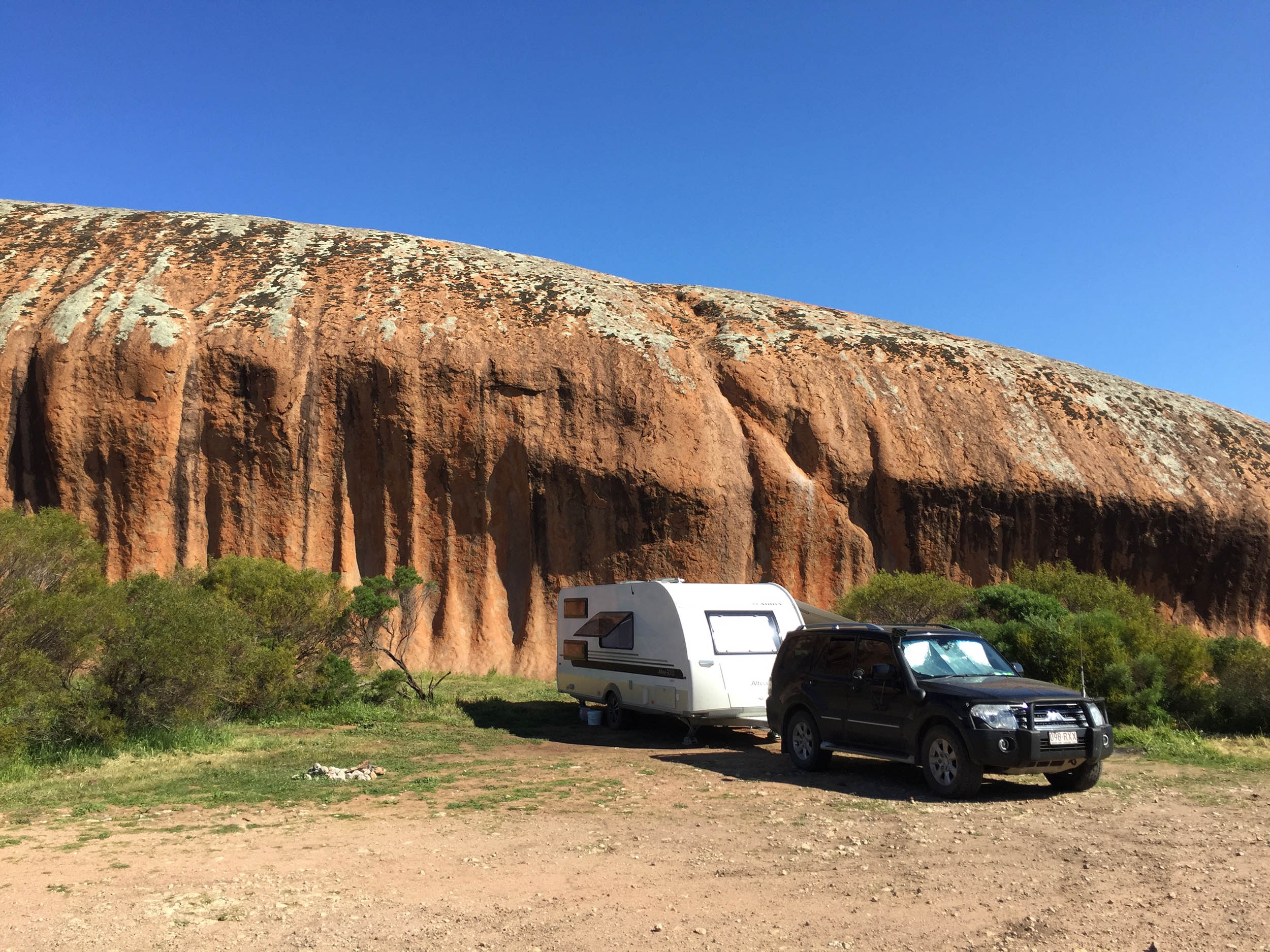
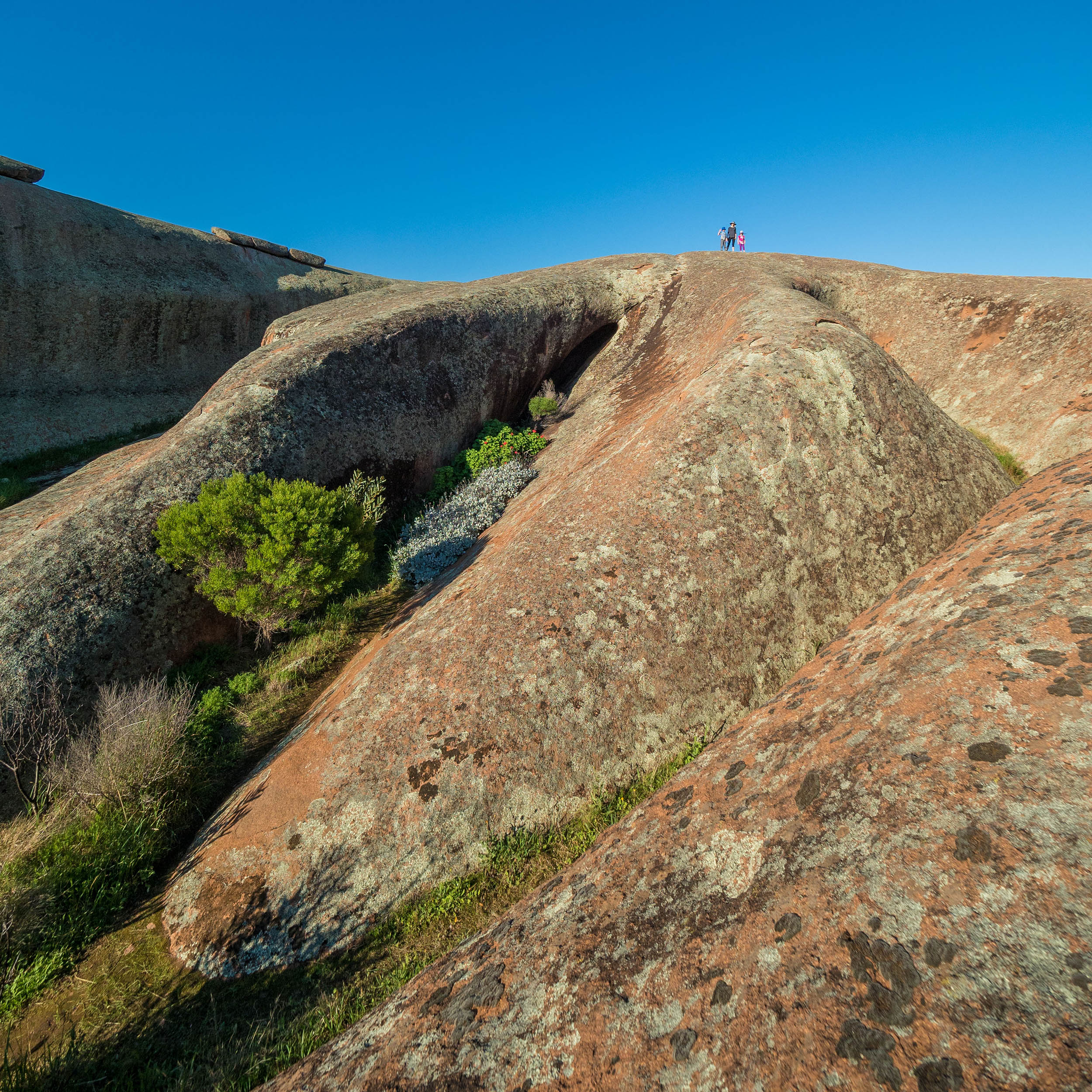
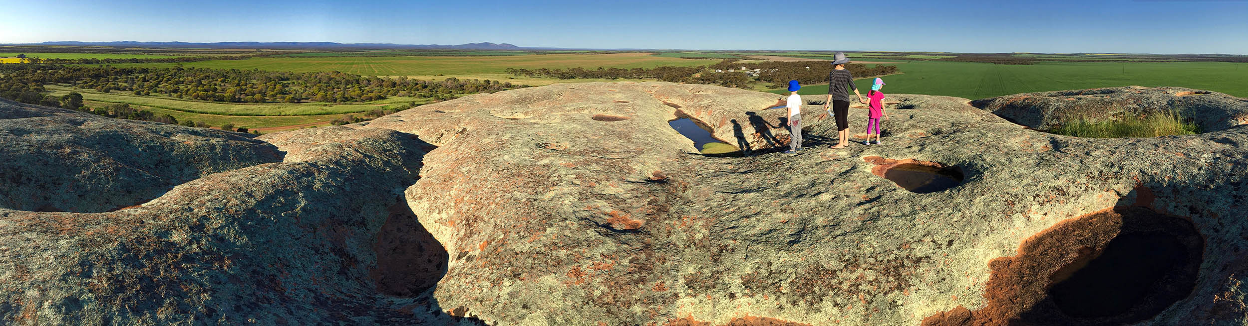
There are a number of ways to explore this beautiful piece of South Australia however we decided to skirt around the outside, leaving from Port Augusta and heading across the top of the peninsula to Ceduna. The drive across is about 470km and you could drive it all in one go however you would miss some interesting places along the way. The highlight for me in this area was Pildappa Rock which is about 15km north-east of Minnipa. The rock itself is a large, isolated granite inselberg. Some locals say that the spectacular wave-like formation rivals Wave Rock in Western Australia.
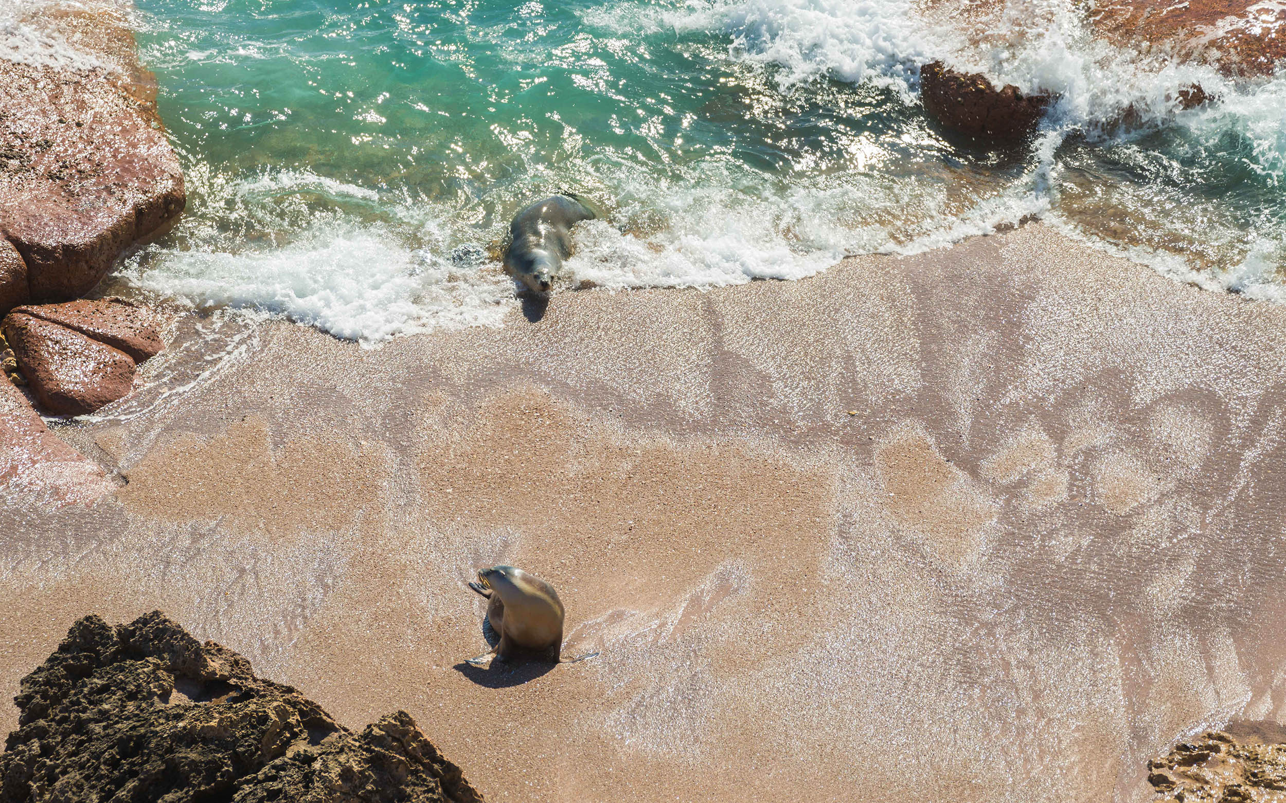
Ceduna was our next stop and we opted for the semi-remote Wittelbee Conservation Reserve to park our van for a few days. Despite having no facilities, the completely serene environment makes up for it. We had a perfect campsite overlooking the surf and limestone cliffs and we honestly didn’t see another person the whole time we were there. Our only visitors were a large number of cormorants that frequented the sun soaked rocks and a friendly seal that we spotted numerous times. We even caught him napping in the water!


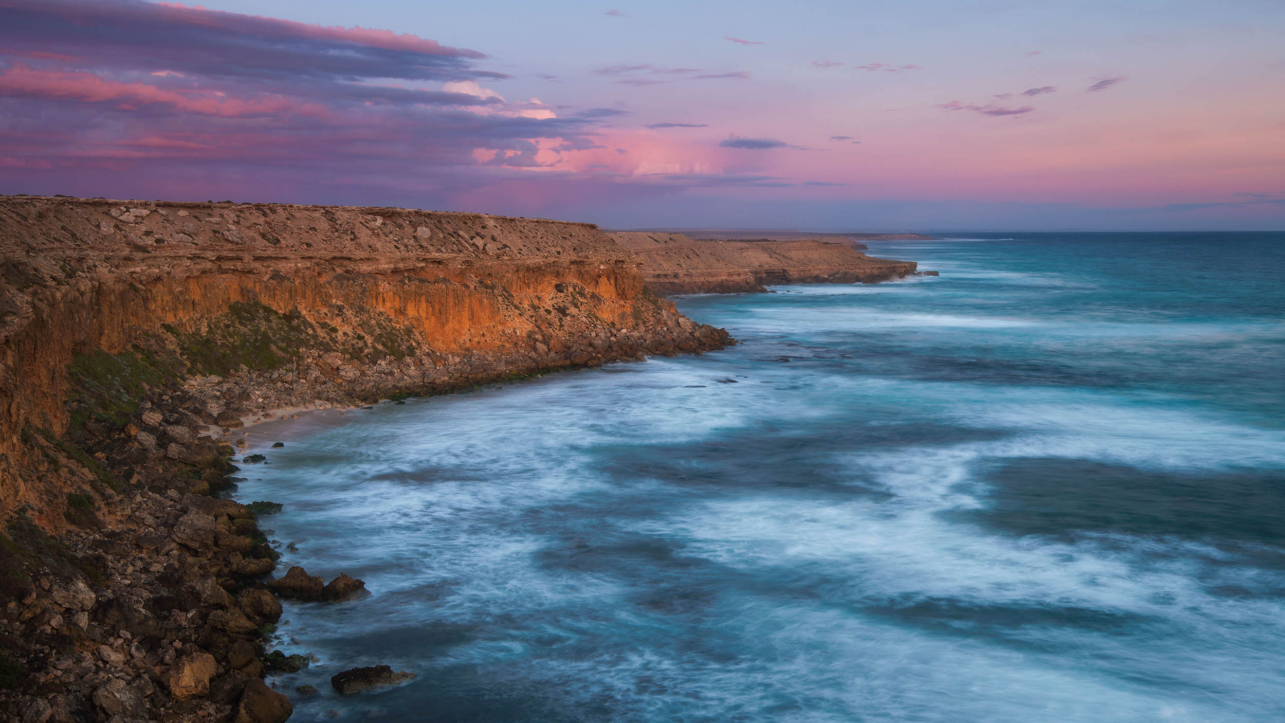
Another 100kms down the coast and we came to my son’s favourite spot, Streaky Bay. There are a great many points of interest in this area all within a days driving distance. My pick of them all was popular surf beach ‘The Granites’. It is a great place to spend the day with sheltered swimming areas for the kids and the beach itself is covered in granite outcrops that stretch as far as the eye can see. It is also the perfect place to photograph at sunset.

The Granites, Streaky Bay
Some of the other must see places in this area are:
- Cape Bauer: Take the loop road for an awesome drive along a scenic section of coast with numerous areas for photo opportunities.
- Yanerbie Sandhills
- The sea lion colony at Point Labatt Conservation Reserve


Another location that is within easy driving distance from Streaky Bay is Murphy's Haystacks. These Stonehenge-like, natural rock formations are also inselbergs just like Pildappa Rock. These uniquely shaped granite boulders are located 40kms south-east of Streaky Bay. There are a number of small groups of these in the area right in the middle of a farmers field!
Their name originated when a traveller in a coach saw the formation from a distance. He thought the mounds to be bales of hay and he asked how a farmer could produce so much. As the farm was on a property owned by a man called Murphy, the rocks became known as Murphy's Haystacks.
The property owner allows self contained travellers to camp there for the night for a small fee of $10. Well worth the money as it allows you to be there to capture both sunrise and sunset. The farmer also produces his own honey and it is for sale there with an honesty box for payment. Do yourself a favour and pick up a bottle (or two) as it is the best you will ever taste!

Sunset @ Murphy's Haystacks
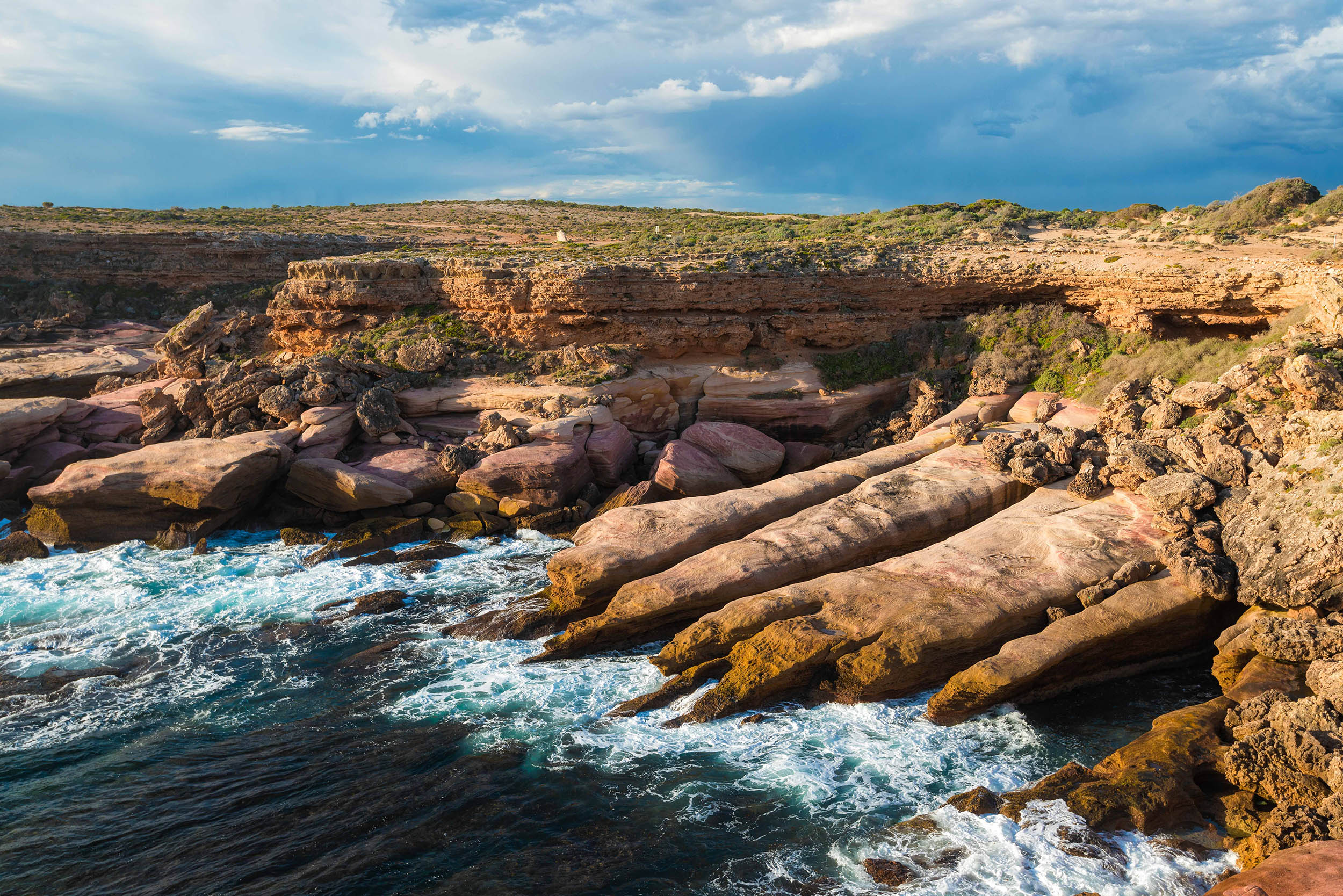
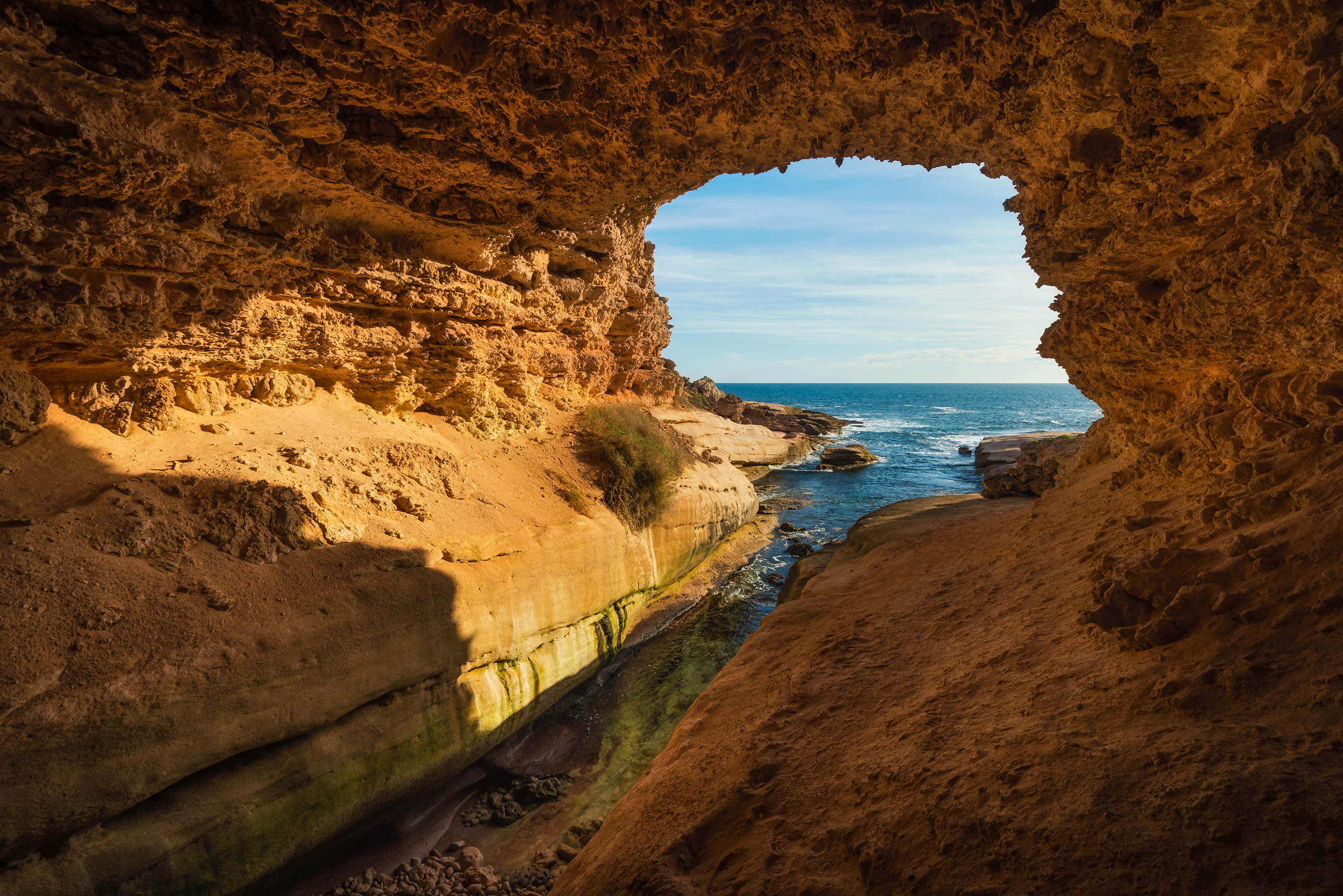
There are a number of small fishing villages along the west coast that also warrant a visit. We unfortunately didn't have to time to stay but we did manage a walk down to the awesome Talia Caves and a sunset at Venus Bay.

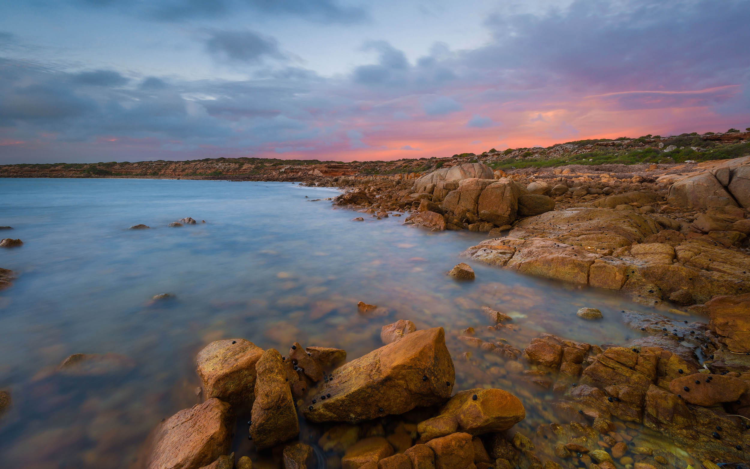
One of the most epic lookouts we came across during this part of the trip was Leo Cummings Lookout. This location is right on the Flinders Highway as you drive approximately 20kms south of Sheringa. The cliffs are a sheer drop down to the raging surf below. We had to endure a passing storm and a spot of hail while we were there but waiting around paid off as I was able to get some really nice shots. While there I also met a couple of mad-keen bodyboarders who were making their way down the cliffs to catch some of the massive waves. Being the daring adventurer that I am, I opted to remain on the cliff top and grab some shots of them with my Sigma 600mm lens.
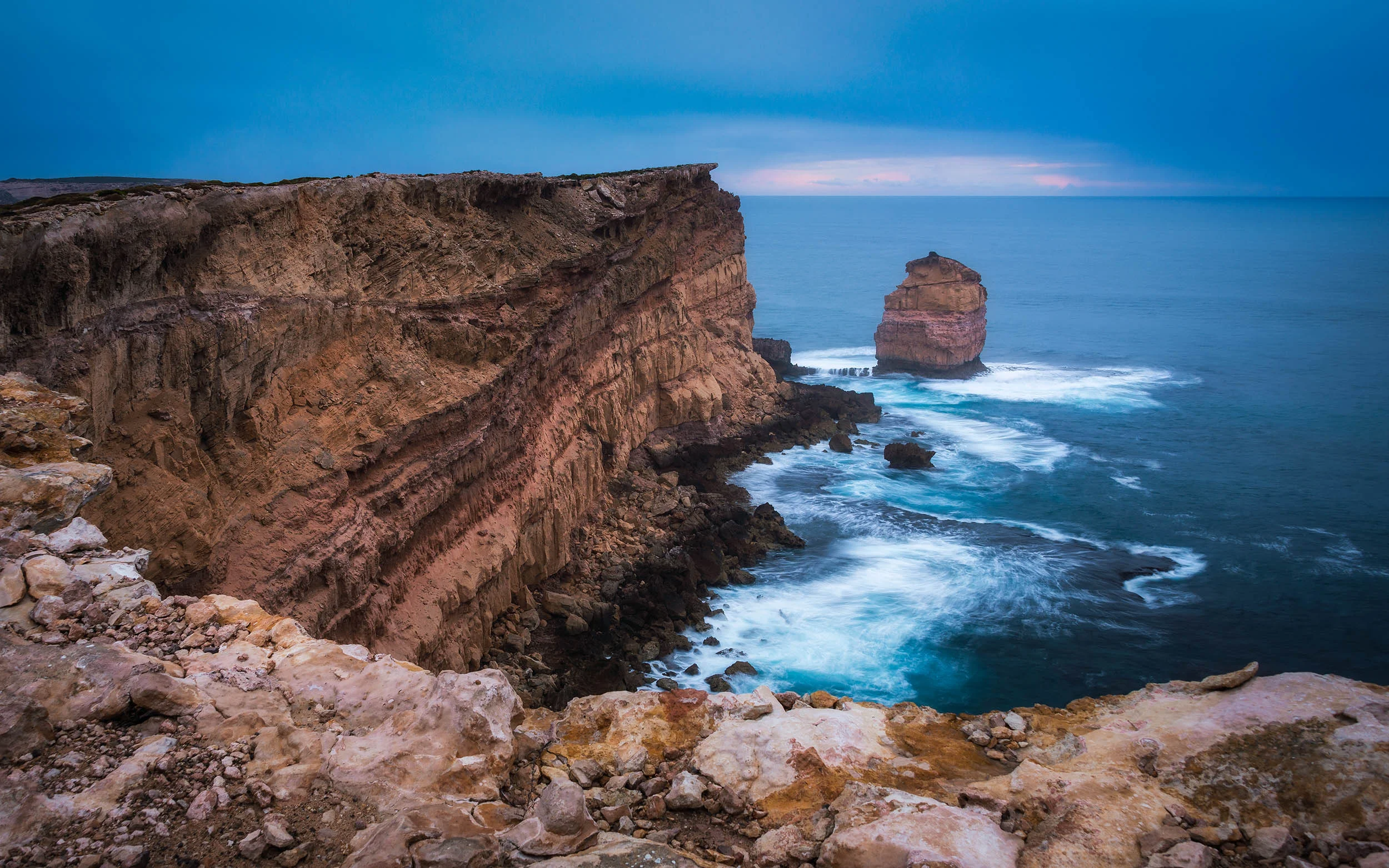
Awesome layering in the cliff face along with a lone sea stack at Leo Cummings Lookout.

How epic are those cliffs! @ Leo Cummings Lookout


Now while we also visited Port Lincoln, I had a couple of days off from taking photos so I don't have much to show for our time there. It was however a beautiful area with some of the best seafood I have ever tasted c/o The Fresh Fish Place. It is also worth visiting the Lincoln National Park and Whalers Way.
Next port of call was a fantastic little spot called Lipson Cove. Lipson Cove is on the eastern side of Eyre Peninsula halfway between Tumby Bayand Port Neil. The beach is pure white silica sand surrounded by the clearest, blue water I have ever seen! It even made the list of 101 Best Beaches in Australia. It is easy to see why!
The final stop on our road trip was the lighthouse at Point Lowly, 30 mins north-east of Whyalla on the east coast.
The Point Lowly lighthouse was built in 1883 to guide ships on their way to Port Augusta and Port Pirie in South Australia. It was deactivated in 1993, however in 1995 it was turned back on as a tourist attraction.
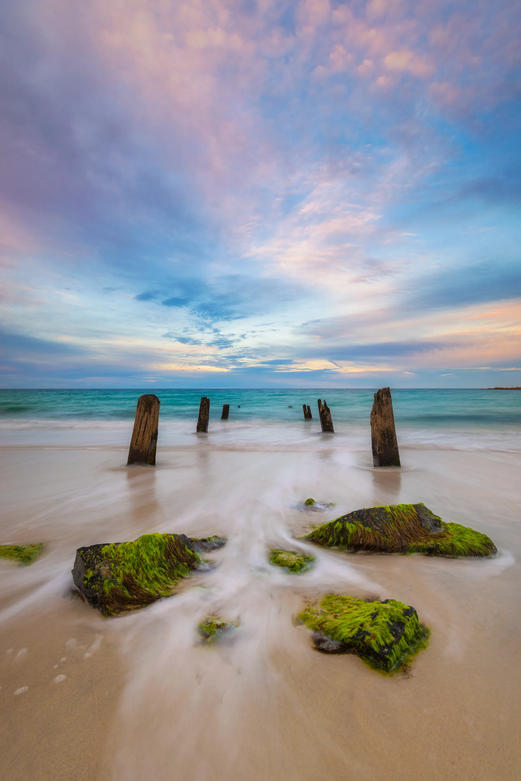
The timber remnants of an old jetty @ Lipson Cove

Blue hour @ Point Lowly

Sunrise from Point Lowly
So as you may have noticed, there are many locations that don't feature in my post as we unfortunately didn't get a chance to explore them all (gotta save something for next time). To experience all the wonders that the Eyre Peninsula has to offer I would recommend taking at least 3 weeks as it is a surprisingly big place. We only allowed 2 weeks and that is just covering select locations along the coast.
Hopefully this information is of some use to those of you reading this and if you would like further insight into what the Eyre Peninsula has to offer check out www.southaustralia.com and www.eyrepeninsula.com